Current Port Condition
NORMAL
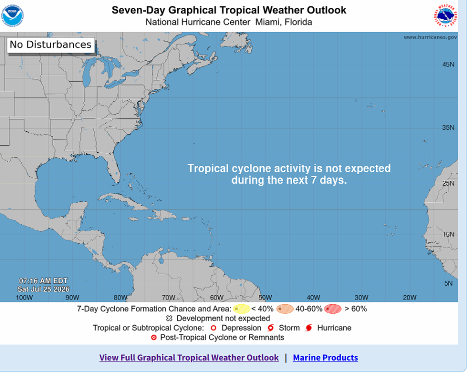
Anticipated Actions: NONE
Drawbridge Information
Draw Bridges will not lock down until further Notice is Given
Draw Bridges will not lock down until further Notice is Given
|
Drawbridge Closures
Time lines Remember, sustained Tropical Storm force winds typically prompt Miami River bridge lockdowns. The systematic Miami River bridge lockdown procedure is intended to prevent vessels from becoming "trapped" between locked down bridges. This lockdown process may begin sooner than some mariners may expect. Marinas, boatyards and marine facilities should notify their customers/clients who have arranged for safe harbor.
For the Safety of both the Mariner and the Bridge operator, Bridge shutdowns need to be conducted in day-lite hours. The consensus between Miami Dade County DOT and Florida DOT that a eight hour window is required to shutdown all bridges in Miami-Dade County. The operation starts at the Tamiami Canal Bridge, the westerly most bridge on the Miami River, Proceeding to 27th Ave Bridge/ 22nd Ave/ 17 Ave / 12 Ave/5th Street/ Flagler/ 2nd Ave / Miami Ave / Brickell Then heading north on the ICW Port of Miami Rail and Vehicular bridge/ Venetian Causeway- east and west spans / JFK 79th street east and west spans / Broad Causeway / Sunny Isle Bridge |
Safe Harbor Plan All commercial vessels seeking to remain in port should submit a Heavy Weather Plan to MiamiInspections@uscg.mil. Additionally, vessels over 500 GT must request and receive approval of their plans in order to remain in port. Please note that if the vessel has been measured both domestically and internationally, the greater of the two tonnages will be used. Vessels over 500 GT must make a request specifically for Tropical Depression 13; previous plans may be used but approvals do not rollover from storm to storm.
|
Resources
Note - Seasonal Weather information and Marine Safety information:
Area mariners can monitor weather conditions via Channel 16 VHF FM Marine Radio.
Miami River bridges -- mariner info: via Channel 9 VHF FM Marine Radio.
Miami-Dade County, Office of Emergency Management website: https://www.miamidade.gov/global/emergency/home.page
Detailed information on this weather system can be found at the National Hurricane Center: www.nhc.noaa.gov (Mobile: www.nhc.noaa.gov/mobile); or, similarly, the National Weather Service: https://www.weather.gov/srh/tropical?office=mfl . For forecast information specific to the Miami/South Florida area: http://weather.gov/miami
Twitter: @MyFDOT_Miami
Instagram: @MyFDOT_Miami
Facebook.com/MyFDOTMiami
Area mariners can monitor weather conditions via Channel 16 VHF FM Marine Radio.
Miami River bridges -- mariner info: via Channel 9 VHF FM Marine Radio.
Miami-Dade County, Office of Emergency Management website: https://www.miamidade.gov/global/emergency/home.page
Detailed information on this weather system can be found at the National Hurricane Center: www.nhc.noaa.gov (Mobile: www.nhc.noaa.gov/mobile); or, similarly, the National Weather Service: https://www.weather.gov/srh/tropical?office=mfl . For forecast information specific to the Miami/South Florida area: http://weather.gov/miami
Twitter: @MyFDOT_Miami
Instagram: @MyFDOT_Miami
Facebook.com/MyFDOTMiami